
By eMarketer.
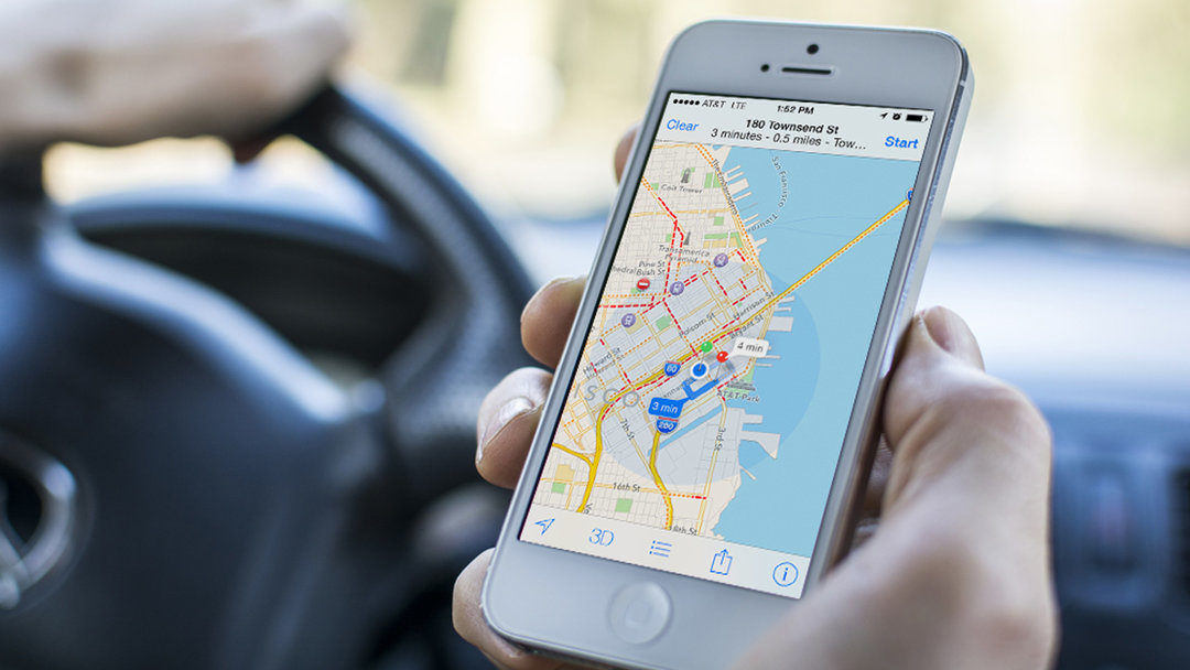
Apple has been cleared to fly drones, which it will use to improve its map product. The effort reflects not only tough competition with Google Maps, but also the growing importance of location targeting in an ever-more mobile world.

The tech company first applied to fly drones for commercial purposes in September 2015, and was granted permission by the US Federal Aviation Administration (FAA) in March 2016. According to Bloomberg, which first reported the news, the drones will “examine street signs, track changes to roads and monitor if areas are under construction.” Apple is also developing new features, like being able to see inside buildings, which will help users find their way around places airports and museums.
“Apple’s interest in drones underscores the growing importance of accurate and precise location data in delivering compelling mobile experiences, services and products,” said Cathy Boyle, principal analyst at eMarketer. “US consumers are flocking to mobile apps with location-based features that make life in the physical world easier, more efficient or more fun.”
Now that Apple has opened its Maps app to third-party developers via iOS 10, the drone-gathered data might prove to be even more powerful when put in the hands of third-party developers who will likely use it to create new options for interacting with locations and services inside Apple Maps.
As more people use mobile to research and make purchases, spending on location-targeted mobile advertising has also grown. According to BIA/Kelsey, local location-targeted ad spending will total $12.8 billion this year. By 2020, it is expected to reach $29.5 billion, accounting for 40.6% of total local mobile advertising.
Even with the help of location data and drones, Apple has ways to go to catch up with Google. Apple stumbled in 2012 with its iOS 6 update, which replaced Google Maps—the then-default maps app—with Apple maps. There were widespread reports of glitches.
Survey data from Fluent suggests Google Maps still has a commanding lead in the space. The survey found that nearly seven in ten US smartphone owners tapped Google Maps as their favorite map, with Apple, Mapquest and others falling far behind.
– See more at: https://www.emarketer.com/Article/Apple-Looks-Drones-Upgrade-Maps/1014811#sthash.qaPIf5eW.dpuf
Be the first to comment on "Apple Looks to Drones to Upgrade Maps"